
Compare Prices on Outdoor Equipment
Travel and Outdoor Equipment Price Comparison > Active Explorer Map OL43 Hadrian's Wall
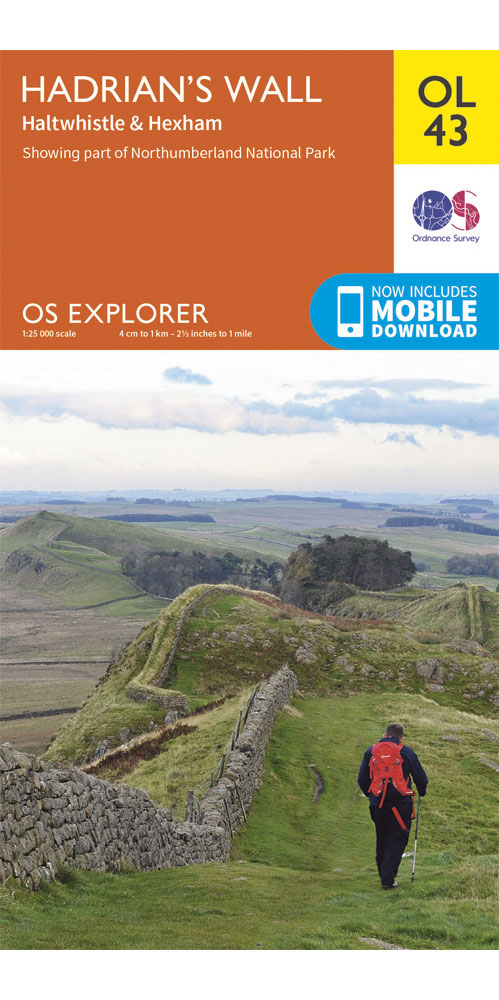
Active Explorer Map OL43 Hadrian's Wall

Active Explorer Map OL43 Hadrian's Wall
£9.99
Alternative Shops
| Image (Click to enlarge) | Product | Price | Buy from... |
|---|---|---|---|
 | Ordnance Survey Hadrian's Wall - OS explorer OL43 Map [more info...] | £9.99 | More from Ellis Brigham |
| Covering Hadrian's Wall on a 1:25,000 scale however remote the terrain, this Ordnance Survey explorer map will give you the accurate, detailed information you need to navigate the area safely. Rights of way, fences, permissive paths and bridleways are clearly shown, ensuring you have the best information to get the most out of your time in the countryside. These are the map of choice for many walkers, climbers, off-road cyclists, horse riders and anyone involved in outdoor activities. [Full Details] | |||
Prices and availability are correct at the time of publishing, but advertisers may change the details before we have time to update them.
Active Explorer Map OL43 Hadrian's Wall Reviews
No reviews found.
Copyright Interhike. All rights reserved.